
Day 2: Dublin to Antioch - The Iron Horse Trail and Co Co Canal

Updated: May 26
Day 2 started with a little bit of a backtrack to have coffee at Inklings in Pleasanton, one of those coffee shops like Cheers where everyone knows your name. We also checked out the Pleasanton farmer's market before the day's pedal to Antioch, about 40 miles.
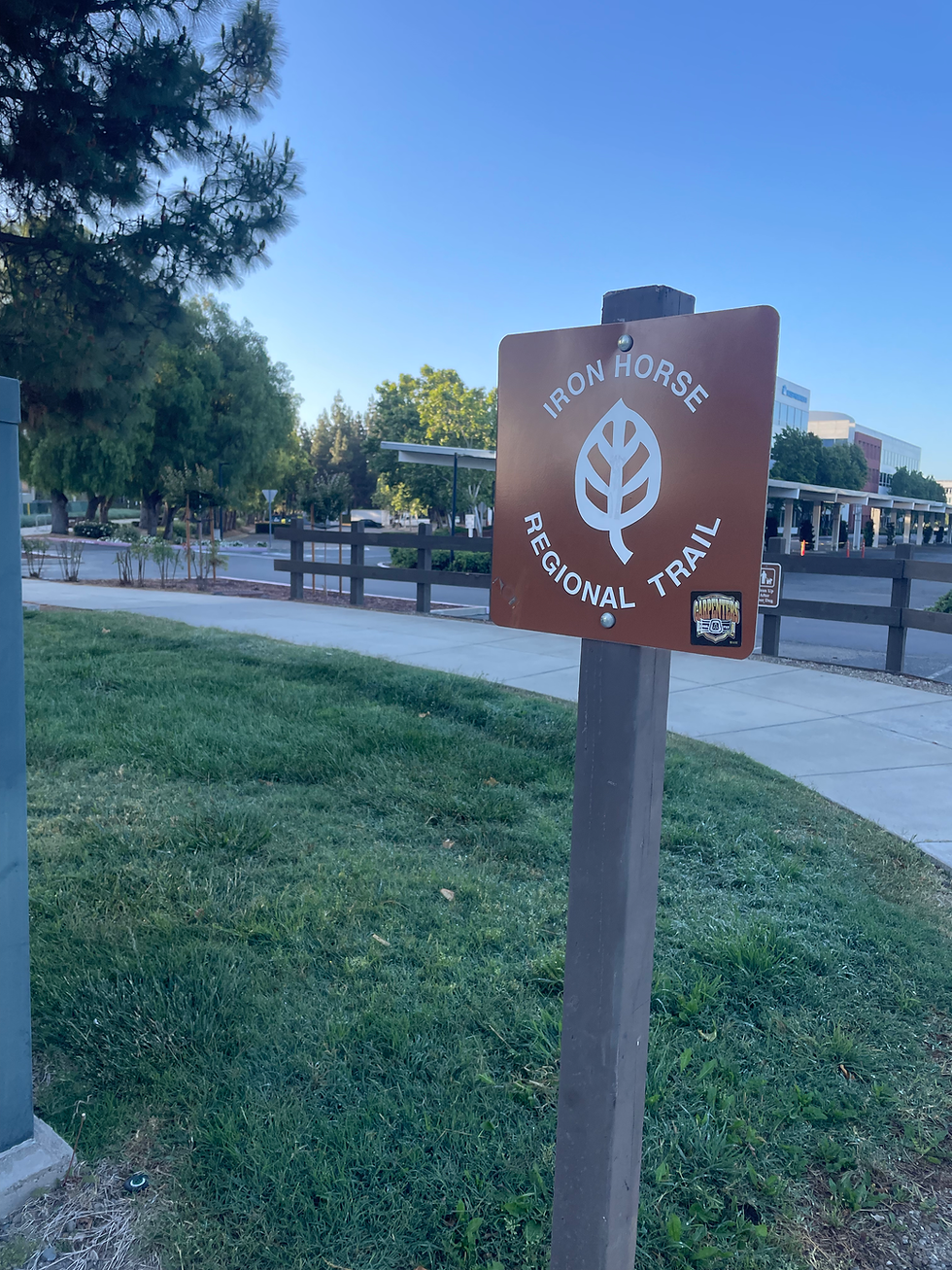
One of the other goals of the trip was to check out the Iron Horse Trail. This is a 30+ trail

that spans an old rail line. The line was built in 1890 and helped develop Contra Costa County. I was expecting a fairly urban experience on this trail, something akin to the 87 Bike Path, but no. It was a beautiful trail (albeit pretty straight.) All along the way we traversed water infrastructure, flood protection, water supply (East Bay MUD), and a Central Contra Costa Sanitary District sewer line. There's a cool story board on that here.

I wanted to talk about a couple things though, namely, concrete channels and Contra Costa's water supply canal (which, also has a trail next to it which we followed.)

Concrete Channels
All around Santa Clara County you'll find areas where a former riparian corridor was straightened and turned to a concrete channel. The idea was that as the County grew, we needed to control stormwater. What better way than to do so by conquering nature through channels and concrete?
The same goes for Contra Costa County. And while both counties have concrete channels, I was struck by how deep the channels were there. Why are their channels so much deeper than ours? Perhaps it has something to do with the amount of rainfall between the counties. Regardless, it was nice to have trails next to these channels, separated and safe from car traffic.
Back to concrete, as a society, we are now realizing that it is much better to work with nature than to try to conquer and control; that nature, naturally, helps us solve many of the problems we have created. So we're returning many of these channels to their natural state.
You can read about Valley Water's projects along these lines here, project D6 of the 2020 voter approved Safe Clean Water measure. Thank you Santa Clara County voters!

Contra Costa Canal Trail
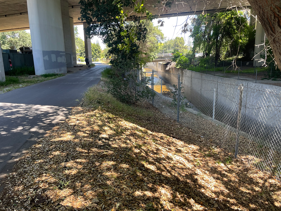
Over the entire trip, we mainly pedaled along paved trails, one of which was the Contra Costa Canal Trail. The canal, the backbone of Contra Costa's water supply, was built in the 1930's, spurred by droughts and increased water salinity. Water is fed from the Delta, and pumped through the canal where it reaches a water treatment plant in Martinez. Different than how we at Valley Water do things, water we move overground is conveyed through natural creeks, not a big canal. Importantly, using creeks to move water helps our groundwater recharge while serving the valuable functions that nature serves. We move water underground in pipes too (which Contra Costa does also although the canal is the backbone of their conveyance system.) Which brings me to the next point. Contra Costa is currently in the process of converting the canal to a pipe. The picture below helps passersby understand why.
Sidenote: Our imported water is moved through big canals, like the California Aqueduct you can see from Highway 5, but those are outside of Santa Clara County.
The canal is owned and operated by the Contra Costa Water District which supplies water for about a half million people (compared to our 2 million).
Since I talked at length about surface storage in the Day 1 segment, I'll mention Contra Costa's numbers. They have four dams that hold about 165,000 acre feet, the biggest of which is Los Vaqueros at 160k (reminder our biggest, Anderson is about 80k acre feet). If that name sounds familiar, it is because we (and others) were working for years with Contra Costa on an expansion project of Los Vaqueros that ultimately did not move forward. Notably, Contra Costa Water District does not bank water underground like we do.


Antioch

We arrived in Antioch with a major decision to make. How to get across the Antioch bridge safely. I (and my partner) take great pains (lots and lots of research) to find safe and pleasant bike routes. The more we looked into the Antioch Bridge and asked around, the more we realized it might be a suicide mission. So, we decided to check it out once we arrived.
Standing there on a weekend looking at the bridge, seeing/feeling the traffic whip by at 60 MPH, and experiencing how tiny the shoulder is, we decided no, we would not risk it. More on how we got across the bridge in the Day 3 write up.
That night we had dinner at Whiskey, Tango Foxtrot at the base of the bridge, a restaurant that is focused on honoring those who have and do serve in the military. The cobb salad was fit for a king - they do not skimp!


Comments